Wednesday, 26 August 2015
Gilligans
The last of the showers were clearing away out to see as we took off early for one of my favourite local paddles; taking off from Scarborough and paddling over to a sandbank that is affectionately known as Gilligans. This sandbank only appears at low tide and is found a couple of kilometers off Skirmish Point on Bribie Island.
This sandbank is a great place for rough water paddling when the conditions are sending swell from the North. On those big swell days when we have cyclones in the Coral Sea, it can be frightening. I have found myself airborne in a six meter sea kayak as waves wrap around the bank and meet over the shallow ground pushing you skywards in an explosion of water. That wasn't today with a gentle meter or so of swell pushed into peaks as the tide slowly reclaimed the bank.
The only thing you need to be aware of is that the waves come from two or more different directions and you can catch a wave from behind, to be hit by a wave coming from 90 degrees to the direction you are going.
This is a nice 26-30 km round trip with a leg stretch and second breakfast on the sandbank (if the tide is right) before paddling the 13kms back to Scarborough. Best to paddle over on an outgoing tide and back on an incoming tide. The tide can rip through the channel between Gilligans and Skirmish Point on springs giving an ever changing tidal race if you get wind and swell from the north.
Sea to the Rainforest
I took some time off to visit one of my favourite rain forests with a friend who was visiting from the US. Lamington National Park was one of our favourite hiking destinations as we were growing up in this part of the world and it hasn't lost any of its appeal. If we weren't surfing somewhere along the coast on our weekends we would head to the hinterland to hike through the National Parks that protect some of our local natural wonders.
In addition to some amazing rain forest, waterfalls, pools, glow worms, crayfish, etc, it is home to the rare Albert's Lyrebird which made a fleeting appearance again on this trip. Well worth a visit if you are in the area - just an hour or so inland from the Gold Coast.
Tuesday, 11 August 2015
Peel Island Reef Platform
Peel Island sits between Cleveland Point on the mainland and Dunwich on North Stradbroke Island. It is a comfortable day paddle and a circumnavigation from Cleveland is 20+ kms. It is a fun paddle back to Cleveland in wind against tide conditions when the wind picks up so novice paddlers should be wary.
Peel Island is surrounded by reef and a low tide paddle can add a few extra kilometers to the journey as the reef platform on the northern and south western sides is exposed at low tide. Be wary of crossing the reef platforms on an outgoing tide. The reefs are very shallow and the water can drain off very quickly and we have all left gel coat behind - today was no exception so I need to do some repair work on my boat :-(
There a two camping areas which can be booked through the National Parks website, Platypus Bay and Horseshoe Bay. Horseshoe Bay can get very busy with the local boating fraternity in summer months when the Northerlies are blowing as the beach faces south and is a great spot for lazying away summer days. There are some toilets at Horseshoe Bay, but that is the extent of the facilities.
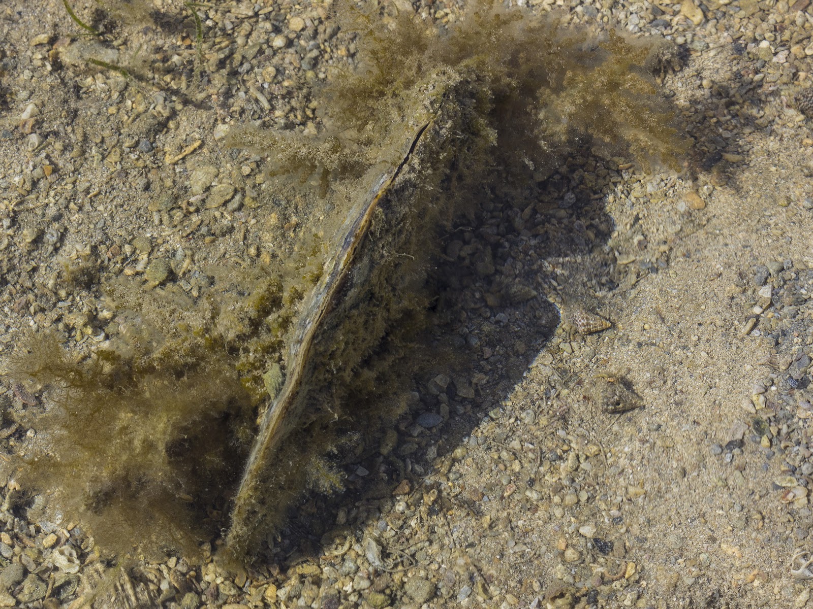
So today was to get back into the zen of kayaking and also some macro photography. After coming back from North Queensland I hadn't been on the water and was keen to get back out and exploring around our local watery backyard.
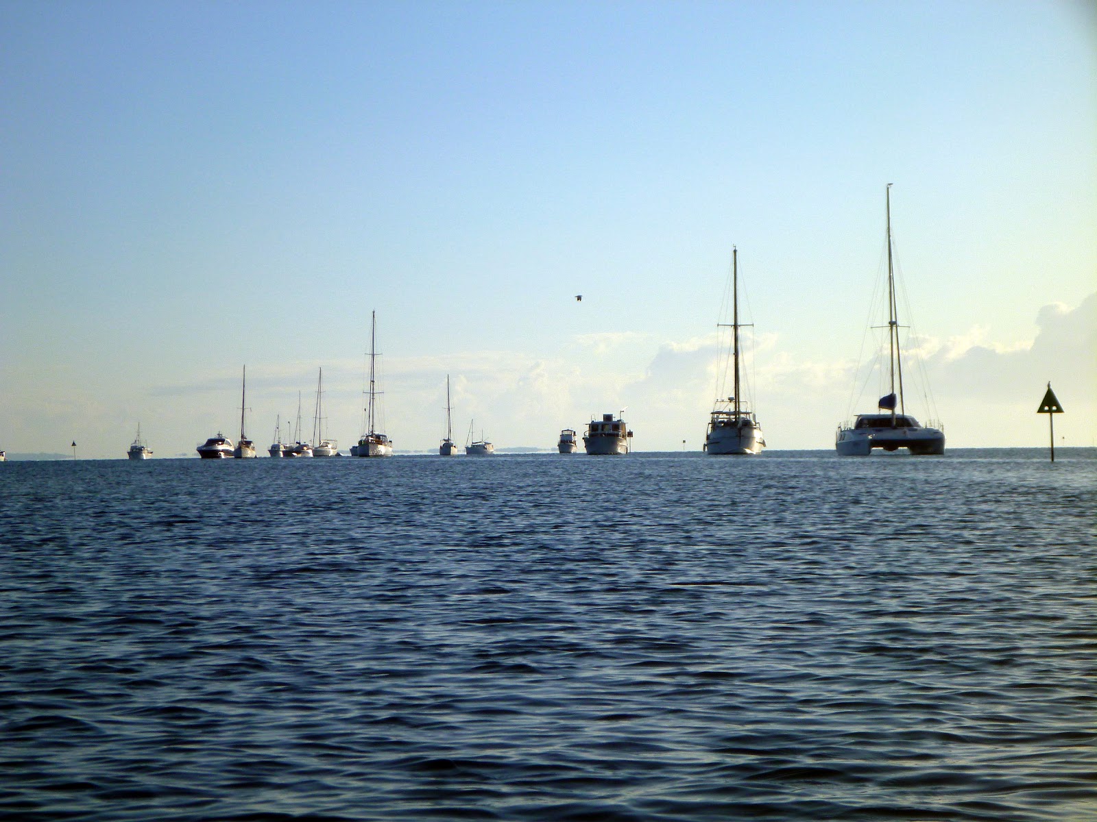
There was a bit of southerly breeze about so all the boaties had headed to the north side of the island and had moored in Lazaret Gutter for the night.
We paddled past the wreck of the Platypus (south eastern corner) and headed up to the western end of Horseshoe Bay which has some good campsites and easy access to the exposed reef platform on the south western corner.
The exposed reef platform looks fairly dead at first glance, made up from broken dead coral. A closer inspection will reveal some of its inhabitants.
I was surprised to find a survey peg on one of the rocky high points of the reef platform. I'm not sure if there was a structure built here at some point in the past or it was just a visible indicator as to where the survey peg was.
The other side to the island, apart from its history as a leper colony, is the sandstone formations along the base of the cliffs.
I'll be back with my snorkeling gear later in the year to explore the covered reef platform.
Subscribe to:
Posts (Atom)